
NEON Playground
NEON playground is a set of tutorials created to help the scientific and non-scientific communities to get access and to analyze data provided by The National Science Foundation’s (NSF) National Ecological Observatory Network (NEON). In short, NEON is a continental-scale observation facility operated by Battelle and designed to collect long-term open access ecological data to better understand how U.S. ecosystems are changing.
This initiative started as part of the NSF founded project DEB-2017843 entitled Integrating biodiversity observations with airborne and satellite data to predict shifts in assemblage diversity and composition under global change. The overarching objective is to harness remote sensing information at local and continental scales to predict biodiversity in the conterminous United States. In other words, with this project we aim to develop a flexible framework for the integration of biodiversity measures derived from NEON sampling sites with remote sensing metrics as means to predict and monitor biodiversity at different spatial and temporal scales.
The broader impacts of this NSF project include several components:
- the project will contribute to the training the next generation of STEM researchers to investigate biodiversity in the Anthropocene,
- the project scientists will engage the public in biodiversity education through the integration of project results into an undergraduate and graduate course in Biodiversity Science at the University of Minnesota, and,
- the project will contribute to advancing international efforts to assess and monitor biodiversity globally.
With this project we also aim to actively engage in training undergraduate and graduate students in bioinformatics, building quantitative thinking and skills essential to macroecological research and assessment of biodiversity in the Anthropocene. Click in the links below to get access to each tutorial.
NextGen species distribution models (NextGen SDMs)
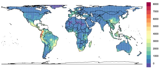
In this tutorial, we will construct correlative models using data at species level (occurrence data points) and environmental data derived from remote sensing–AKA Next-Generation species distribution models (Pinto-Ledezma & Cavender-Bares 2021). To do so, we will download occurrence data for oak species distributed in the Americas from Global Biodiversity Information Facility (GBIF) and environmental (temperature and precipitation) data from NASA and CHIRPS servers. Then we will use the Earth observation climatic variables to construct a new set of variables that we call Earth observation bioclimatic variables or simply EO-Bioclim.
To get access to the tutorial please click the next link:
Intro to NextGen species distribution models
Measuring phylogenetic diversity within communities
The main goal of this tutorial is to present a basic understanding about measuring phylogenetic diversity within communities or best known as the analysis of community phylogenetics. The community phylogenetics integrates ecological and evolutionary concepts and explores the mechanisms (e.g., biotic interactions or environmental filters) governing the assembly of ecological communities.
There are different sources of information and web pages with a lot of information about this field. The most common and useful are the web pages of the books: Modern Phylogenetic Comparative Methods and Their Application in Evolutionary Biology and Phylogenies in Ecology. Among the most influential papers in this field are Phylogenies and Community Ecology by Campbell Webb et al. (2002) and The merging of community ecology and phylogenetic biology by Jeannine Cavender-Bares et al. (2009).
To get access to the tutorial please click the next link:
Measuring phylogenetic diversity within communities
Using hyperspectral remote sensing data to predict biodiversity
In this tutorial we will explore some aspects of hyperspectral remote sensing obtained from the National Ecological Observatory Network (NEON) with the goal of predicting biodiversity from the sky. Specifically, we will use hyperspectral remote sensing data from the NEON Airborne Observation Platform (AOP) (more information here and here). As you will see, working with hyperspectral information/data is similar to work with any other information/data (e.g., species abundance, presence-absence) and consequently it can be used to calculate any metric of biodiversity. In this sense, spectral diversity can be considered as a dimension of biodiversity.
Note. Part of the text used in this tutorial was extracted from here with some modifications.
To get access to the tutorial please click the next link:
Using hyperspectral remote sensing data to predict biodiversity